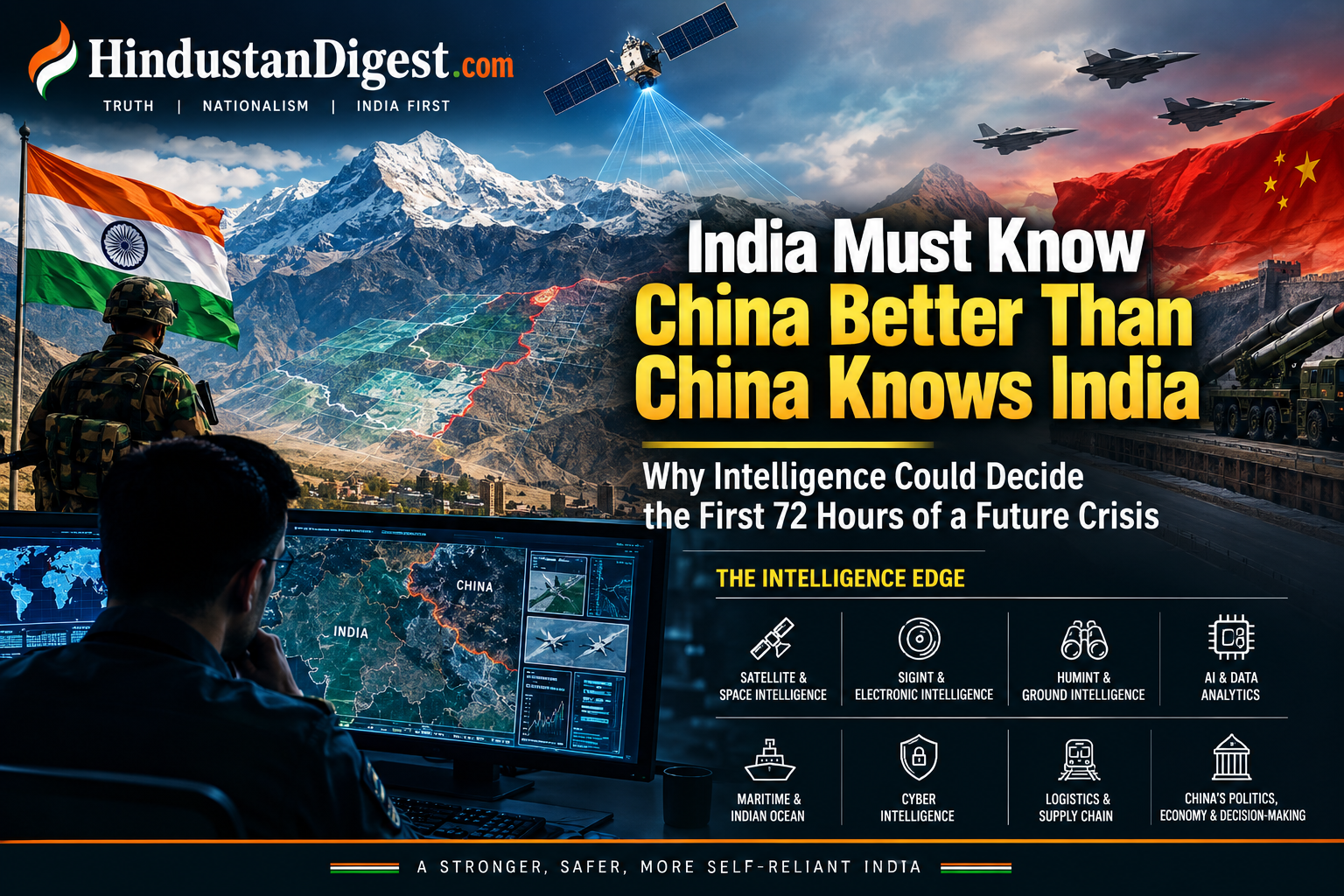
China Must Be Understood Before China Can Be Deterred: Why Intelligence Could Decide the First 72 Hours of Any India-China Crisis.
The next India-China confrontation will not be decided only by tanks, missiles or fighter aircraft. It will be shaped by what each side knows about the other and, equally importantly, what it knows that the other side does not know.
A future military crisis between India and China, should one occur, would unfold in an environment dramatically different from the 1962 war.
Satellites would be watching.
Drones would be watching.
Cyber networks would be probing.
Electronic signatures would be monitored.
Railways, airfields, fuel depots, roads and military formations would generate enormous amounts of observable data.
And artificial intelligence could potentially process thousands of these signals simultaneously.
That creates a fundamental national-security lesson for India:
Before counting Chinese weapons, India must determine how many are operational, where they are, how quickly they can be moved, how effectively they can be supplied—and what China believes India will do.
In modern warfare, intelligence is not merely a support function for military operations. It is one of the foundations on which military decision-making rests.
India has already been moving in this direction. In January 2025, the Ministry of Defence formally introduced SANJAY, the Battlefield Surveillance System, designed to integrate inputs from ground and aerial sensors and create a common surveillance picture for commanders. The system is intended to strengthen Intelligence, Surveillance and Reconnaissance (ISR) and network-centric operations.
The challenge is to take that philosophy much further.
The real question: What can China actually do?
Military inventories can be deceptive.
A country may possess hundreds of aircraft but have fewer immediately available for combat. It may possess sophisticated missiles but face limitations involving stocks, maintenance, targeting, communications or logistics.
The same principle applies to the People’s Liberation Army (PLA) on the Tibetan Plateau.
India therefore needs a continuous China Military Capability Assessment, combining satellite imagery, signals intelligence, electronic intelligence, human intelligence, cyber intelligence, open-source intelligence and battlefield data.
The central question should not simply be:
What weapons does China possess?
It should be:
What weapons can China employ, where, how quickly, for how long, and with what logistical support?
That distinction could be decisive.
1. TECHINT: Count operational capability, not catalogue numbers
Technical intelligence—or TECHINT—should examine the difference between inventory and usable combat power.
For every major Chinese weapon system relevant to the Indian theatre, analysts should attempt to establish:
- number deployed;
- number operational;
- maintenance cycles;
- availability of spare parts;
- ammunition stocks;
- fuel requirements;
- communications architecture;
- electronic signatures;
- deployment locations;
- mobility;
- vulnerability to weather and altitude;
- and the time required to regenerate combat capability.
This is particularly important on the Tibetan Plateau.
China has invested heavily in infrastructure connecting Tibet and Xinjiang with military installations. Commercial satellite analysis has documented upgraded airfields, rail links, fuel infrastructure, maintenance facilities and military installations near India’s borders.
The critical intelligence question is therefore not merely whether a Chinese airfield exists.
It is:
How many aircraft can actually operate from it continuously under wartime conditions?
High-altitude warfare changes the equation
Tibet presents an unusual military environment.
Altitude affects aircraft performance, helicopter operations, vehicle mobility, human endurance, fuel consumption, logistics and maintenance.
Consequently, India should build a specialised High-Altitude Chinese Military Performance Database.
For aircraft, analysts should examine:
- runway length;
- payload;
- fuel load;
- altitude limitations;
- sortie-generation rate;
- maintenance requirements;
- weather limitations;
- weapons availability;
- hardened shelters;
- runway-repair capability.
For armoured vehicles:
- engine performance;
- fuel consumption;
- terrain mobility;
- maintenance requirements;
- cold-weather performance;
- crew endurance.
For air-defence systems:
- radar coverage;
- mobility;
- deployment patterns;
- electromagnetic signatures;
- command-and-control architecture;
- ammunition replenishment.
The objective should be to replace assumptions with measurements wherever possible.
2. China’s logistics may matter more than its weapon inventory
One of the most important lessons from military history is that armies do not fight with weapons alone.
They fight with:
fuel + ammunition + food + spare parts + communications + transportation + maintenance.
China’s infrastructure development in Tibet has therefore become a major component of the strategic equation.
CSIS satellite analysis has documented the expansion of roads, railways, airfields and military-support infrastructure along China’s western frontier. At Shigatse, for example, researchers identified military aviation facilities, rail infrastructure, fuel storage and maintenance facilities.
This creates a potentially powerful intelligence opportunity.
India could maintain a long-term satellite-based database measuring:
- railway activity;
- military vehicle concentrations;
- fuel storage;
- construction activity;
- aircraft movements;
- runway utilisation;
- logistics depots;
- ammunition-related infrastructure;
- bridge and road development;
- and seasonal changes.
Rather than asking whether China could theoretically sustain a 30-day operation, intelligence analysts should estimate China’s actual logistics throughput under different seasons and scenarios.
That requires years of data—not a single satellite photograph.
3. Intelligence must study China’s assumptions
Weapons are only half the equation.
The other half is what the Chinese leadership believes about India.
Every military plan contains assumptions.
For example:
- How quickly can India mobilise?
- How willing is India to accept escalation?
- How effective are Indian air and missile defences?
- Would India operate only defensively along the LAC?
- How resilient would India’s economy be under pressure?
- Would the United States or other partners provide intelligence or logistical support?
- How would Pakistan behave?
- How vulnerable is India’s infrastructure to cyber disruption?
- How much political pressure would a prolonged conflict create?
These assumptions should be identified and continuously assessed.
The objective should not be to provoke China into war.
Quite the opposite.
The objective is deterrence through uncertainty.
If Beijing cannot confidently predict India’s response, the cost of initiating military escalation rises.
4. India must build a Chinese “decision tree”
One of the most useful intelligence products would be a constantly updated China Crisis Decision Matrix.
Instead of attempting to predict one Chinese plan, Indian analysts should model multiple possibilities.
Scenario A: Limited border escalation
Possible indicators could include:
- unusual military deployments;
- increased air activity;
- logistics movements;
- emergency exercises;
- ammunition transportation;
- unusual communications patterns.
The purpose would be to distinguish routine activity from genuine mobilisation.
Scenario B: Sustained conventional confrontation
Indicators would potentially include simultaneous increases in:
- fuel movement;
- ammunition logistics;
- medical preparations;
- transport activity;
- aviation operations;
- engineering units;
- communications activity.
The important point is that one indicator rarely proves anything.
A combination of independent indicators is much more valuable.
Scenario C: Grey-zone pressure
A confrontation need not begin with tanks crossing a border.
It could involve:
- cyber activity;
- economic restrictions;
- information operations;
- diplomatic pressure;
- border infrastructure;
- maritime activity;
- telecommunications disruption;
- coercive economic measures.
China’s use of infrastructure and economic instruments in the Tibetan region has been studied as part of a broader grey-zone strategy.
India therefore needs an intelligence system that watches the entire strategic environment, not merely PLA troop movements.
5. Cyber intelligence must be treated as battlefield intelligence
A major conflict with China would not necessarily begin with artillery.
Cyber activity could precede conventional military operations.
India has already experienced attempts to target critical infrastructure attributed by researchers to China-linked groups. Analysis of the 2020 Mumbai power outage and subsequent reporting on the RedEcho campaign generated significant concern about Chinese cyber activity against India’s electricity infrastructure, although the precise causal link between the cyber activity and the Mumbai blackout was disputed.
India has subsequently strengthened power-sector cyber-security mechanisms.
The government says India’s power system includes dedicated cyber-security organisations, monitoring capabilities, vulnerability assessments and protections separating critical operational technology from external networks.
The next step should be continuous national-security monitoring of:
- electricity;
- telecommunications;
- ports;
- railways;
- banking;
- satellite communications;
- logistics;
- hospitals;
- fuel distribution;
- and other critical infrastructure.
A cyber intrusion detected three weeks before a military crisis may be more valuable than discovering the same intrusion three hours after hostilities begin.
6. Satellites could become India’s most important intelligence tool
The Himalayas are extraordinarily difficult to monitor physically.
That makes space-based surveillance indispensable.
India’s own policy architecture has recognised the importance of space technology for border management, including satellite imagery, communications, navigation and infrastructure monitoring.
But the objective should now be a much more sophisticated system.
India needs persistent monitoring of:
Airfields
- aircraft numbers;
- aircraft shelters;
- runway activity;
- construction;
- maintenance activity.
Railways
- train frequency;
- military cargo patterns;
- new sidings;
- loading areas;
- unusual activity.
Roads
- construction;
- widening;
- bridges;
- military convoys;
- seasonal accessibility.
Fuel infrastructure
- storage expansion;
- tanker movements;
- unusual consumption patterns.
Military bases
- troop concentrations;
- construction;
- equipment shelters;
- communications infrastructure.
Border villages
China has built hundreds of border villages in the Tibetan region, some with potential dual-use significance. Commercial satellite imagery has documented extensive development along sections of the disputed frontier.
7. HUMINT remains indispensable
Satellites can see.
Signals intelligence can hear.
Cyber intelligence can detect.
But humans can explain.
India needs greater understanding of:
- PLA organisational structures;
- logistics procedures;
- military training;
- equipment maintenance;
- procurement;
- command relationships;
- strategic culture;
- political decision-making;
- and the internal debates surrounding military policy.
This does not mean relying on sensational claims from alleged defectors or anonymous online sources.
Human intelligence must be corroborated.
A single source may be wrong.
Three independent sources pointing toward the same conclusion are much more valuable.
8. Open-source intelligence is now a national-security resource
The internet has transformed intelligence collection.
Commercial satellite imagery, aviation tracking, shipping databases, Chinese-language social media, academic publications, procurement notices, scientific papers and local news reports can collectively reveal patterns.
India should establish dedicated China-focused OSINT cells with expertise in:
Mandarin + satellite imagery + aviation + shipping + railways + economics + military affairs + artificial intelligence.
Chinese-language social media can sometimes reveal information that does not appear immediately in international reporting.
But such information should never be treated as automatically authentic.
It must be:
collected → translated → authenticated → cross-checked → analysed → assigned a confidence level.
That last step is critical.
Every intelligence assessment should tell decision-makers not only what analysts think, but how confident they are.
9. India should understand the Indian Ocean dimension
A China-India crisis would not necessarily remain confined to the Himalayas.
China’s growing naval presence and overseas logistical network mean that India’s intelligence picture must extend into the Indian Ocean.
India should maintain continuous monitoring of:
- Chinese naval deployments;
- support vessels;
- submarine activity;
- port visits;
- maritime exercises;
- research vessels;
- satellite-linked maritime communications;
- and logistics movements.
The objective should be early warning, not simply wartime reaction.
10. Pakistan must be part of the intelligence equation—but without assuming coordination
One of the most important analytical mistakes would be to assume automatically that China and Pakistan would conduct a coordinated military operation.
Instead, Indian intelligence should monitor the evidence.
Indicators could include:
- unusual military mobilisation;
- changes in air activity;
- major exercises;
- logistics movements;
- diplomatic signalling;
- changes in force posture;
- and communications between military establishments.
The intelligence community should develop several competing hypotheses and continuously test them.
Never confuse possibility with evidence.
11. The most important intelligence target may be China’s decision-making system
Understanding weapons is important.
Understanding logistics is important.
But understanding decision-making may be even more important.
Indian analysts should study:
- China’s political calendar;
- senior military appointments;
- Western Theater Command leadership;
- military promotions;
- strategic documents;
- economic conditions;
- domestic political pressures;
- major diplomatic events;
- military exercises;
- and official Chinese messaging.
However, one major caution is necessary:
Intelligence should never assume that domestic economic difficulties automatically mean a Chinese leadership would choose war, or that economic strength automatically means the opposite.
Political decision-making is too complex for such simplistic formulas.
Instead, analysts should build competing hypotheses and assign confidence levels to each.
12. The 72-hour intelligence dashboard
India should ideally have a national-level dashboard capable of answering a few basic questions continuously.
AIR
What aircraft are moving toward the western theatre?
RAIL
What unusual military logistics are moving toward Tibet?
ROAD
Are military convoys increasing?
FUEL
Are fuel-storage and tanker patterns changing?
MISSILES
Are there unusual preparations or exercises?
ELECTROMAGNETIC
Are there changes in radar, communications or electronic activity?
CYBER
Are Indian critical networks being probed?
NAVY
Are Chinese naval movements changing in the Indian Ocean?
POLITICS
Has China’s official rhetoric changed?
ECONOMY
Are there unusual restrictions on trade, finance or strategic materials?
One indicator may mean nothing.
Ten indicators moving simultaneously could mean something very different.
13. Artificial intelligence could connect the dots
This is where the future of intelligence lies.
Imagine an AI system receiving:
- satellite images;
- aircraft movements;
- railway activity;
- shipping data;
- weather;
- construction activity;
- Chinese-language social media;
- cyber alerts;
- economic indicators;
- military exercises;
- diplomatic statements.
Instead of analysts examining each piece separately, an AI-enabled system could identify correlations and alert human analysts.
For example:
Unusual railway activity + increased aircraft movements + fuel-storage activity + military exercises + communications changes = elevated mobilisation probability.
The machine should not make the decision.
Humans should.
But machines can help humans see patterns hidden inside millions of pieces of information.
14. India should not chase one expensive satellite—build a resilient intelligence ecosystem
The answer is not simply spending more money on large platforms.
India needs a layered system involving:
large satellites + small satellites + drones + ground sensors + commercial imagery + AI + universities + defence laboratories + private companies + intelligence agencies.
India’s recent moves toward integrated surveillance demonstrate that this direction is already being recognised. SANJAY, for example, is designed to fuse multiple battlefield sensor inputs into a common operational picture.
The next challenge is scale.
Universities and technology companies could potentially contribute to:
- satellite-image analysis;
- AI models;
- Chinese-language OSINT;
- geospatial intelligence;
- infrastructure monitoring;
- cyber-threat research;
- economic intelligence.
Sensitive intelligence, of course, must remain under appropriate government control.
The real lesson: Intelligence is about reducing uncertainty
The most dangerous sentence in national security is:
“We know what the enemy will do.”
Often, we don’t.
The better question is:
“What do we know, what do we not know, and what evidence would change our assessment?”
That mindset produces better intelligence.
It also prevents the opposite mistake—underestimating an adversary because of wishful thinking.
China has demonstrated considerable investment in infrastructure, surveillance, military technology and logistics along its western frontier. Satellite research has documented substantial improvements in roads, railways, airfields and military facilities.
India, meanwhile, has been strengthening its own surveillance, infrastructure, cyber resilience and joint military capabilities. Official Indian defence reporting describes improved northern-border infrastructure and greater integration among the armed services, while the 2025 Trishul exercise specifically included joint ISR, electronic warfare and cyber-warfare procedures.
The strategic objective should therefore not be to seek war.
It should be to ensure that if a crisis occurs, India enters it with fewer surprises than its adversary expects.
The Indian doctrine for the next decade should be simple
See first.
Understand first.
Verify first.
Decide first.
And, wherever possible:
Deter before fighting.
The first 72 hours of a major crisis could be extraordinarily important. But the intelligence battle determining those 72 hours will have begun months or even years earlier.
Every railway photograph, satellite pass, aircraft movement, cyber alert, procurement document, Chinese-language post, military exercise and diplomatic signal may become one piece of a much larger puzzle.
The country that assembles that puzzle faster—and understands its limitations—will possess an enormous strategic advantage.
Modern war may still be fought on mountains, in skies and at sea. But before the first shot is fired, much of the contest is already taking place inside intelligence rooms.
HindustanDigest.com
More Featured Articles:
India’s Long Battle Against Islamist Terrorism: A Timeline of Major Terror Attacks Since 1947.
Osama Bin Laden, India and Terrorism: What the New CIA Files Reveal 25 Years After 9/11
Venture Debt in India: The Complete 2026 Guide for Startups, Founders, CFOs & Growth Companies.
Why Kjøller Is an Important Venture Capital Investor for Startups Globally.
Venture Capital and Private Equity Funding in India: A Complete Founder’s Guide (2025)
BSE Main Board Listed Company (Mumbai) Available for Strategic Acquisition.
Strategic Finance Options for Medical and Hospital Businesses in India (2026)


One thought on “China Must Be Understood Before China Can Be Deterred: Why Intelligence Could Decide the First 72 Hours of Any India-China Crisis.”